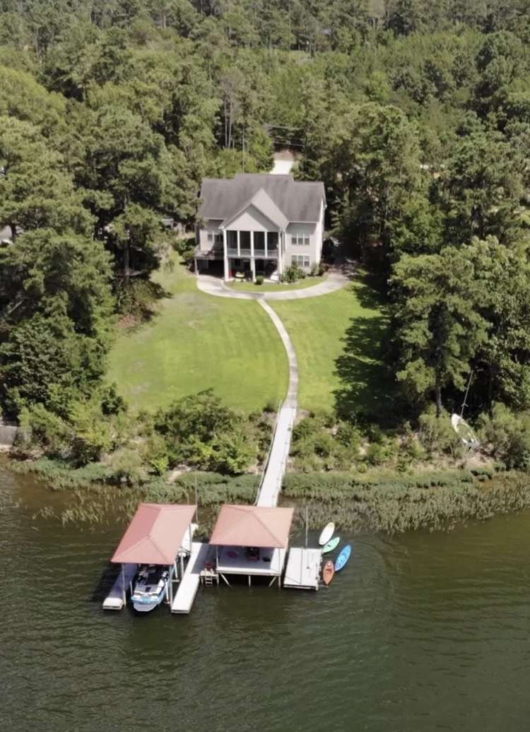
Yes, there is the FEMA flood map provided by the county. Our agent (He's been selling on that lake for 25 years) pulled up every property we looked at when we were shopping houses. Some were down right stupid for building in that area. This lake is infamous for flooding when the Charlotte NC area gets heavy rains or a hurricane blows up the coast.
We even saw some with creative water containment layouts that would direct the flood waters into a culvert and across the street into a lower, empty lot. One place we looked at was at the bottom of a hill, dirt roads and all the rain funneled onto the lot and down to the lake. Entire yard was full of fresh gravel brought in and the wife thought that was so nice of them to do this parking area. I LOL'd at her and told her it was to fill in the erosion issues and they formed a ditch out of the gravel so high my Mustang would not have made it in the driveway.
Wife was busy looking at the house while I was focused on the lay of the land.
I have a close friend that lives out on a point on an island with a causeway that gets water up under his home 3-4 times a year, but it was built for it. One time he had to stay at a hotel a couple of days because the causeway was under water and he didn't get back to the house on time.
Next fall Duke power is dropping the lake levels and putting in bladder systems that will allow controlled opening of the flood gates at the dam to prevent the flooding. The ancient dam was designed to just dump water over the top and they discovered it is causing damage below, so the bladders will release the water along the banks of the river instead of just over the top. At least that's how it was explained to me. It's going to be a 2 year project and this is why deep water lots are bringing the big money right now. Anything with shallow water will have a dock over the dry lake bed for a few years.