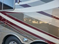
The wife and I took off the better part of last week to squeeze our last RV trip in for the season.
I will include several posts with pictures from the trip.
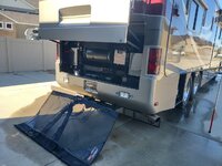
Hooked up in the backyard and ready to hit the road. We delayed leaving until around 9am on Wednesday to avoid Salt Lake Co. and Utah Co. traffic. It worked as we breezed right through without ever having to kick the cruise control off until we hit the mouth of Spanish Fork Canyon (Hwy 6).

We arrived in Green River around 1 pm and after the short period of setting up camp we took off and explored some more around the Utah Missile Complex and a few surrounding trails south of Green River, UT.
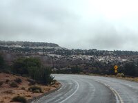
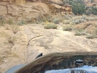
Thursday was supposed to be hit and miss as far as clouds and sun but a much larger storm was supposed to be rolling in. Wanting to get ahead of it so we could enjoy some miles of dirt trails, we took off and headed north of Green River about 20 miles and then headed west on the Green River cutoff trail that took us through a nice winding canyon where we have seen some big horn sheep in the past, but not this trip.
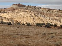
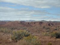
We ended up at the Wedge, which is also known as the "Little Grand Canyon". We arrived here a bit quicker than we thought as we saw no one on the trail up until this point. There were a few campers around the Wedge but for such a beautiful day it was nice and quiet. We stopped at an overlook for a quick snack and enjoyed the view.

While we were enjoying our snack, I scanned through the downloaded US Forest Service maps that I had downloaded before the trip and compared them to some of our recorded tracks in our library and found a road that headed northwest, back towards Castle Dale for a few miles, before making a hard turn south and headed towards Muddy Creek by way of Fuller's Bottom. We had never been there but had been to Coal Wash where the trail from Fuller's Bottom eventually connected, so we decided to give it a try. The storm looked like it was to our northwest and he had spotty blue sky above us so as long as we stayed well ahead of the storm I wasn't worried to be down in the wash, at least not at first.
As we approached Fuller's Bottom, we quickly found ourselves in some beautiful trees in the peak of changing for the season.

Driving through the trees in this kind of oasis in the desert.
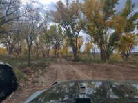
Then we came to Muddy Creek. It was a bit hard to tell how deep it was so I inched in a little at a time, especially since we were alone and no other vehicles had been seen up to this point once we left the Wedge.
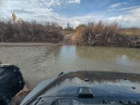
After coming out of the creek and climbing out of the low spot around Fuller's Bottom, we headed towards Coal Wash on a narrow two-track.

I had read about an area called "the drips" in a hiking guide. I was surprised to see it listed on the US Forest Service map so we set out to locate it. We found it but it wasn't as big as I thought it would be, but it was cool to see the water seeping from the sandstone rock.
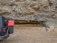
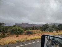
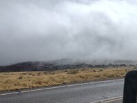
Just as we were entering Coal Wash at the northern end, I took a shot of the sky behind us and this seemed to be gaining strength. The goal was to get through the wash and climb out taking either Devil's Racetrack or Eva Conover trails which would lead us back to where we could connect with I-70 and head back east towards Green River.

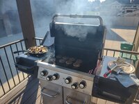
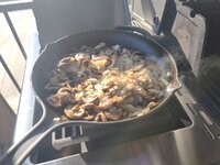
By this time we had blue sky over us and the dark sky was gaining some distance behind us so we found a nice overlook and stopped for lunch. We packed a small lunch as we had our sites set on a nice dinner at one of our favorite places to eat in the area.
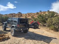
Beautiful view looking down into Coal Wash.

Stay tuned for more pictures....